Project NEMO
Novel Echosounder to Map the Ocean
A New Mission to Map the Ocean Floor!
Seatrec’s Project NEMO (Novel Echosounder to Map the Ocean) is a partnership between industry and academia to map the gaps in current seafloor charts using cost-effective autonomous echosounder floats powered by the ocean’s natural temperature differences. The first region Seatrec will map is near Point Nemo, named after the famous submarine sailor, Captain Nemo, from Jules Verne’s “Twenty Thousand Leagues Under the Sea.” Point Nemo is officially known as “the oceanic pole of inaccessibility.” This area is particularly challenging and expensive to study and map because it’s 2,688 kilometers (or 1,670 miles) from the nearest land, which makes it emblematic of the difficulties that scientists face in understanding and mapping the ocean as a whole.
Technology Innovation
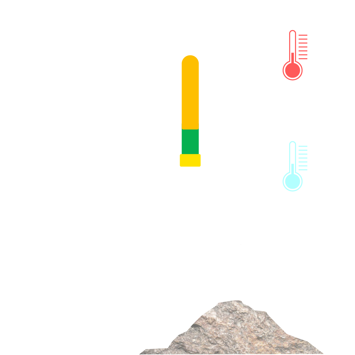
Project NEMO is a breakthrough opportunity that integrates three technology innovations: (1) an innovative echosounder designed by Airmar Technology Corporation, in collaboration with Innomar Technologie GmbH, (2) profiling floats, and (3) Seatrec’s ocean thermal energy harvesting technology. The transformative echosounder “pings” the seafloor when the profiling float parks below the thermocline (the layer between the warmer water at the surface and the cooler water underneath). After each sounding, the float surfaces to obtain a GPS position and transmits topographical data via satellite. During the ascent, this system recharges with Seatrec’s energy harvesting technology that converts the ocean thermal energy associated with the temperature difference into electricity to charge the onboard batteries and sustainably extend the float’s lifetime.
Mapping
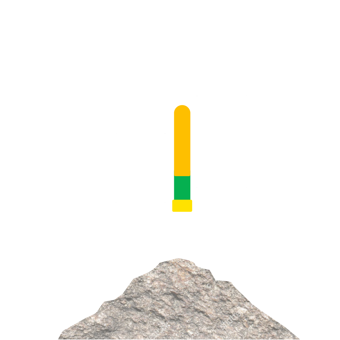
Battery Charging
Satellite Communication
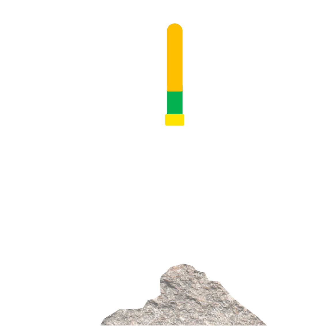
Mapping
Battery Charging
Satellite Communication
Seafloor mapping pioneer Larry Mayer, a Professor and Director of the Center for Coastal and Ocean Mapping at the University of New Hampshire, is leading Project NEMO.
Partnering with Seabed 2030
Seatrec is proud to announce a partnership with the Nippon Foundation-GEBCO Seabed 2030 Project. Using Seatrec’s patented technology that harvests energy from the ocean temperature difference is transformative and provides a cost-effective and sustainable solution to deploy a fleet of underwater robots. Experts estimate that it will cost $3B to map the seafloor relying on traditional methods like ships that burn diesel fuel and emit carbon dioxide into the atmosphere. Read the press release here.
Why Map the Seafloor
Mapping the seafloor provides critical data needed to protect the health of the ocean.

Climate and Ocean Science
Measure shapes and depths of the ocean floor, instrumental in understanding and forecasting climate, sea-level rise, ocean circulation, tides, and biological hotspots.
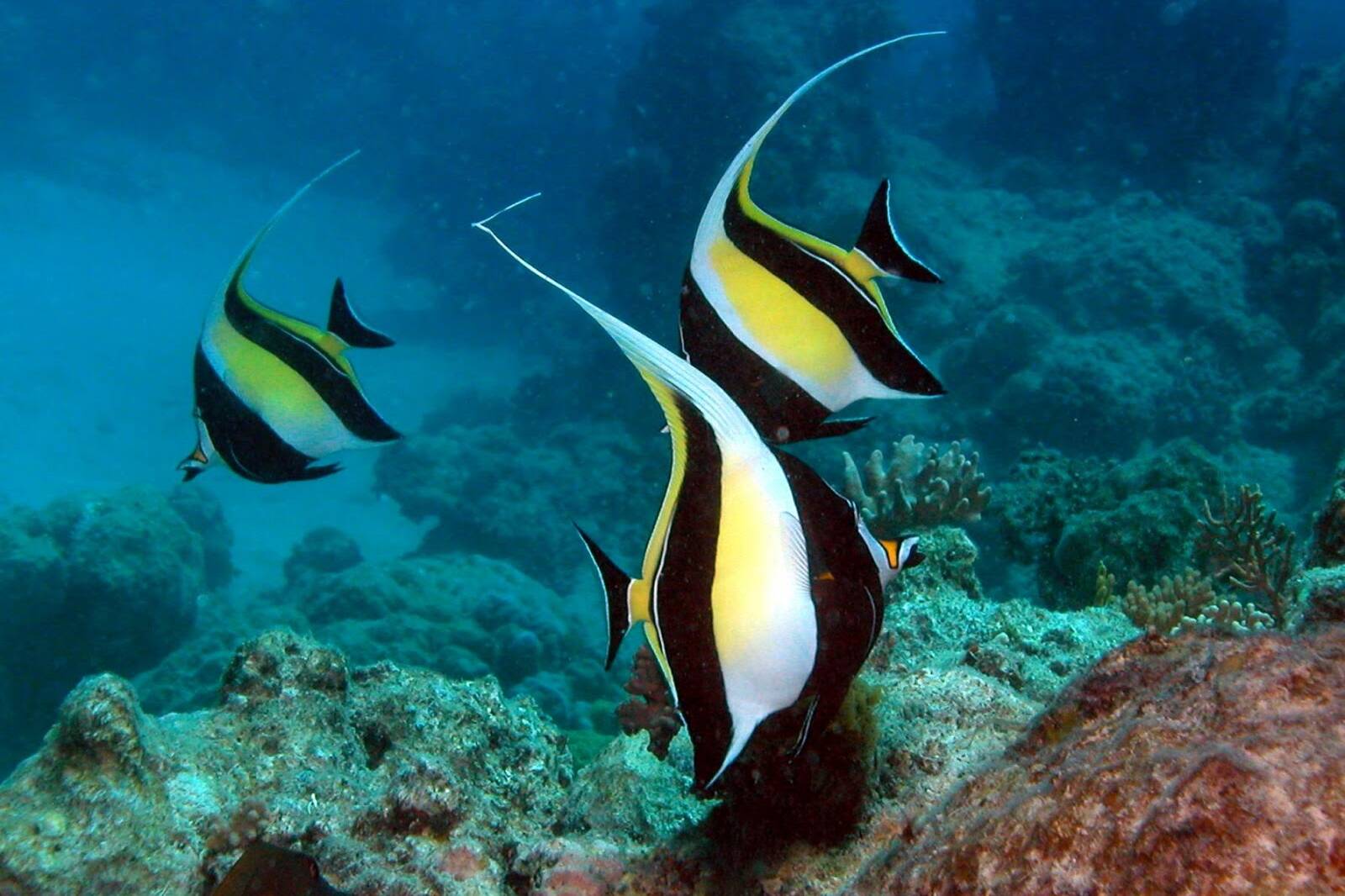
Marine Protection Areas
Understand species distribution impacted by the seafloor terrain, and capture data to better model these areas for sound policy impacting sustainability, fishing, and tourism.
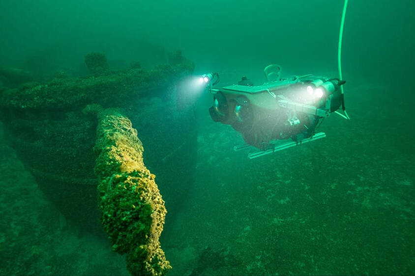
Discovery and Exploration
Benchmark for efficient expeditions to spot previously unseen features such as seamounts, canyons, sand waves, faults, canyons, ancient coral reefs, and shipwrecks.
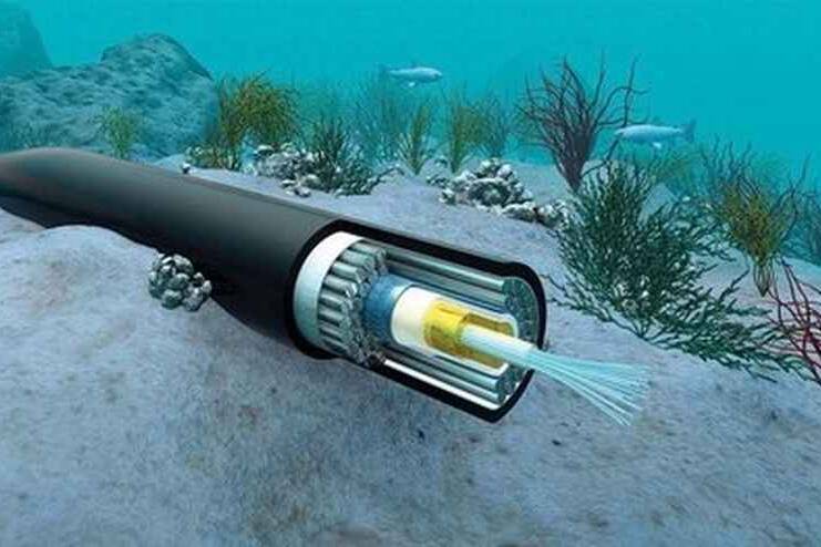
Communications Cabling
Define the scientific basis for management of existing and/or potential cable crossings; inform business decisions considering measurable environmental impacts to ecosystems.
Want to Change the World?
We’re proud to have Schmidt Marine Technology Partners as our first sponsor. If you’re interested in becoming a sponsor for Project NEMO, please contact info@Seatrec.com. A summary of our sponsorship opportunity can be found here.