
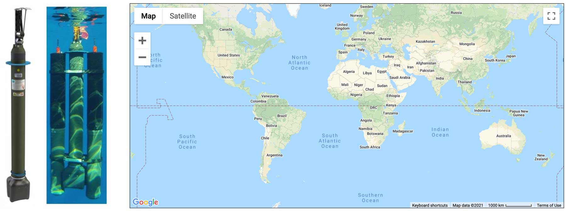
Float Trajectory and Measured Temperature Profiles
Click any location on the world ocean map to display float trajectory and measured temperature profiles. Test both float results and compare for yourself.Feel free to try it out.
Note:
Click on the button adjacent to try it out.
Float can be released during a maximum 3-year period, simply because of the computation time and resources required. Longer period simulation is available upon request.
The vertical profiling speed of 10 cm/sec is assumed. The profiling interval is set as one day. The parking depth is set as 1,000 meters.
It is assumed that each profile down to 1,000m consumes 10 kJ. The total battery capacity for both floats is set as 3,650 kJ to enable 365 profiles if the primary battery is used by Navis, and the two SL1 modules will harvest 10 kJ of energy once there is a sufficient temperature difference.
The default Phase Change Material (PCM) has a phase change temperature of 10 o C, which can be adjusted to accommodate lower or higher phase change temperatures in cold or hot waters, respectively.
The Amazon Web Services (AWS) is used to calculate the float trajectory using the global 1/12˚ Hybrid Coordinate Ocean Model (HYCOM) with 41 vertical layers. The HYCOM output from the year 2020 is used and repeated to simulate the multiple years. The temperature profile is derived from the monthly climatology archived by NOAA World Ocean Atlas (WOA) with a spatial resolution of 1/4˚.
Email info@seatrec.com for questions.